
Adjiba topographic map
Interactive map
Click on the map to display elevation.
About this map
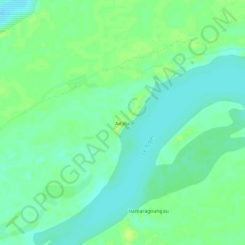
Name: Adjiba topographic map, elevation, terrain.
Location: Adjiba, Cercle de Gourma-Rharous, Tombouctou, Mali (16.77252 -2.38905 16.81252 -2.34905)
Average elevation: 261 m
Minimum elevation: 254 m
Maximum elevation: 268 m
Other topographic maps
Click on a map to view its topography, its elevation and its terrain.
Gossi
Mali > Tombouctou > Cercle de Gourma-Rharous > Gossi
Gossi, Cercle de Gourma-Rharous, Tombouctou, Mali
Average elevation: 290 m