Geolocate

Capuluan Tulon topographic map

Click on the map to display elevation.

About this map
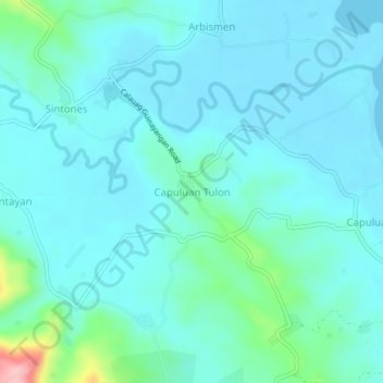
Name: Capuluan Tulon topographic map, elevation, terrain.

Location: Capuluan Tulon, Quezon, Calabarzon, Philippines (13.79854 122.46612 13.83854 122.50612)

Average elevation: 26 m

Minimum elevation: -1 m

Maximum elevation: 175 m

Gear up for your next adventure:

🧺Mesh Stuff Sacks - Breathable storage for wet gear or camp organization
☕Insulated Travel Mugs - Keep drinks hot while surveying the landscape from a summit
🔦Head Torches - Hands-free lighting for hiking and camping
🔋Rechargeable Batteries - Eco-friendly power for headlamps and older GPS units
🚲Cycling GPS Computers - Track elevation and topographic routes on two wheels

As an Amazon Associate, this site earns from qualifying purchases at no extra cost to you.