Geolocate

Samraong topographic map

Click on the map to display elevation.

About this map

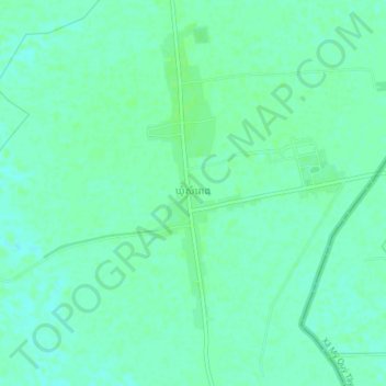
Name: Samraong topographic map, elevation, terrain.

Location: Samraong, Svay Rieng, Cambodia (10.90836 106.10857 10.94836 106.14857)

Average elevation: 5 m

Minimum elevation: 0 m

Maximum elevation: 8 m

Gear up for your next adventure:

🧦Hiking Socks - Breathable socks designed to prevent blisters on long walks
Insulated Travel Mugs - Keep drinks hot while surveying the landscape from a summit
🦟Anti-Midge & Tick Repellent - Vital for hiking in the Scottish Highlands during summer
🔥Emergency Fire Starters - Reliable ignition tools for survival situations in damp conditions
📍Handheld GPS Navigators - Reliable satellite navigation for hiking and off-road exploration

As an Amazon Associate, this site earns from qualifying purchases at no extra cost to you.