
Um Rakuba topographic map
Interactive map
Click on the map to display elevation.
About this map
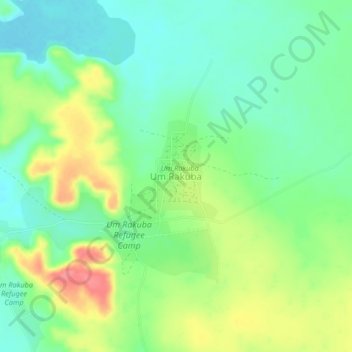
Name: Um Rakuba topographic map, elevation, terrain.
Location: Um Rakuba, Al Galabat, Gedarif State, Sudan (13.47370 35.66503 13.51370 35.70503)
Average elevation: 590 m
Minimum elevation: 562 m
Maximum elevation: 636 m