
Kuta topographic map
Interactive map
Click on the map to display elevation.
About this map
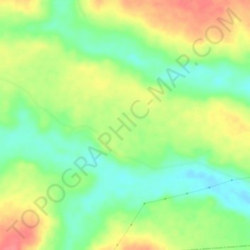
Name: Kuta topographic map, elevation, terrain.
Location: Kuta, Abeokuta North, État d'Ogun, Nigéria (7.06333 3.19667 7.10333 3.23667)
Average elevation: 69 m
Minimum elevation: 38 m
Maximum elevation: 106 m