
Labebene topographic map
Interactive map
Click on the map to display elevation.
About this map
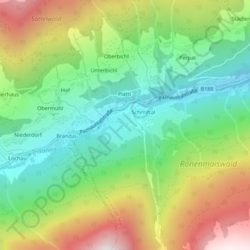
Name: Labebene topographic map, elevation, terrain.
Location: Labebene, Gemeinde See, Bezirk Landeck, Tirol, Österreich (47.06540 10.39636 47.06705 10.39971)
Average elevation: 1,506 m
Minimum elevation: 1,106 m
Maximum elevation: 2,143 m