
Moghrar topographic map
Interactive map
Click on the map to display elevation.
About this map
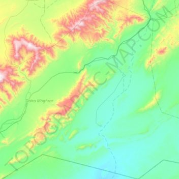
Name: Moghrar topographic map, elevation, terrain.
Location: Moghrar, Moghrar District, Naâma, Algeria (32.20191 -0.73187 32.69303 -0.15369)
Average elevation: 1,077 m
Minimum elevation: 784 m
Maximum elevation: 2,108 m