
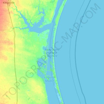
Padre Island National Seashore topographic map
Interactive map
Click on the map to display elevation.
About this map
Name: Padre Island National Seashore topographic map, elevation, terrain.
Average elevation: 5 m
Minimum elevation: -2 m
Maximum elevation: 31 m
Other topographic maps
Click on a map to view its topography, its elevation and its terrain.
Kingsville
United States > Texas > Kleberg County
Kingsville, Kleberg County, Texas, 78363, United States
Average elevation: 19 m