
Kwabre East Municipal District topographic map
Interactive map
Click on the map to display elevation.
About this map
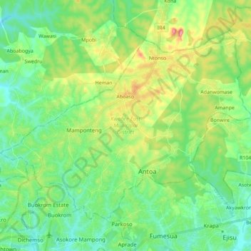
Name: Kwabre East Municipal District topographic map, elevation, terrain.
Location: Kwabre East Municipal District, Ashanti Region, Ghana (6.72560 -1.62357 6.85348 -1.45169)
Average elevation: 296 m
Minimum elevation: 245 m
Maximum elevation: 416 m