
Lambung Bukit topographic map
Interactive map
Click on the map to display elevation.
About this map
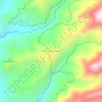
Name: Lambung Bukit topographic map, elevation, terrain.
Location: Lambung Bukit, West Sumatra, 25163, Indonesia (-0.90672 100.47158 -0.86672 100.51158)
Average elevation: 632 m
Minimum elevation: 263 m
Maximum elevation: 1,234 m