Geolocate

Columbus topographic map

Click on the map to display elevation.

About this map

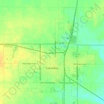
Name: Columbus topographic map, elevation, terrain.

Location: Columbus, Cherokee County, Kansas, 66725, United States (37.15804 -94.86799 37.19285 -94.81714)

Average elevation: 275 m

Minimum elevation: 260 m

Maximum elevation: 286 m

Other topographic maps

Click on a map to view its topography, its elevation and its terrain.

East Galena

United States > Kansas > Cherokee County > Galena

Average elevation: 288 m

Sherwin

United States > Kansas > Cherokee County

Average elevation: 260 m

Gear up for your next adventure:

📱Phone Mounts for Hiking - Secure mounts to carry your phone on trails
🥤Hiking Water Bottles - Reusable bottles for hydration on the trail
🛰️Handheld GPS Devices - Reliable GPS units for hiking and outdoor navigation
🕶️Polarized Sunglasses - Reduces glare from snow and water when reading terrain
📷Camera Straps - Secure straps for carrying cameras while walking

As an Amazon Associate, this site earns from qualifying purchases at no extra cost to you.