
Bernhardsthal topographic map
Interactive map
Click on the map to display elevation.
About this map
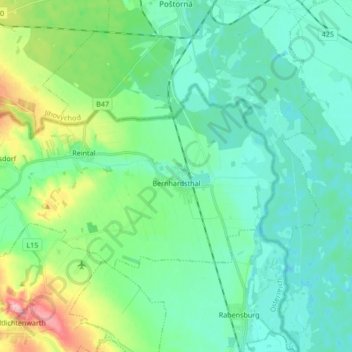
Name: Bernhardsthal topographic map, elevation, terrain.
Location: Bernhardsthal, Bezirk Mistelbach, Lower Austria, 2275, Austria (48.66452 16.74976 48.72300 16.91859)
Average elevation: 173 m
Minimum elevation: 144 m
Maximum elevation: 272 m