
Pulau Tekong Kechil topographic map
Interactive map
Click on the map to display elevation.
About this map
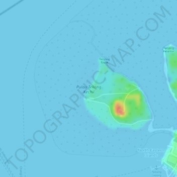
Name: Pulau Tekong Kechil topographic map, elevation, terrain.
Location: Pulau Tekong Kechil, Southeast, Singapore (1.40855 104.00890 1.42923 104.03058)
Average elevation: 1 m
Minimum elevation: -4 m
Maximum elevation: 44 m
Other topographic maps
Click on a map to view its topography, its elevation and its terrain.
Palau Tekong Camp
Singapore > Southeast > Rocky Hill
Palau Tekong Camp, Rocky Hill, Southeast, Singapore
Average elevation: 5 m