
Helmsange topographic map
Interactive map
Click on the map to display elevation.
About this map
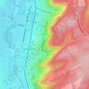
Name: Helmsange topographic map, elevation, terrain.
Location: Helmsange, Walferdange, Canton Luxembourg, Luxembourg (49.65570 6.12498 49.66940 6.15967)
Average elevation: 309 m
Minimum elevation: 224 m
Maximum elevation: 414 m