
Ashville topographic map
Interactive map
Click on the map to display elevation.
About this map
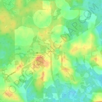
Name: Ashville topographic map, elevation, terrain.
Location: Ashville, Jefferson County, Florida, United States (30.59659 -83.66655 30.63659 -83.62655)
Average elevation: 43 m
Minimum elevation: 23 m
Maximum elevation: 65 m