
Olingen topographic map
Interactive map
Click on the map to display elevation.
About this map
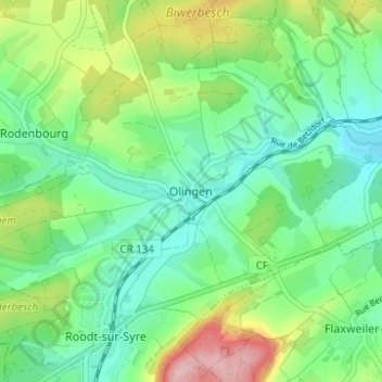
Name: Olingen topographic map, elevation, terrain.
Location: Olingen, Betzdorf, Canton Grevenmacher, 6951, Luxembourg (49.66078 6.29582 49.70078 6.33582)
Average elevation: 274 m
Minimum elevation: 220 m
Maximum elevation: 391 m