
Losser topographic map
Click on the map to display elevation.
About this map
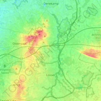
Name: Losser topographic map, elevation, terrain.
Location: Losser, Overijssel, Netherlands (52.22074 6.93433 52.37986 7.07276)
Average elevation: 37 m
Minimum elevation: 17 m
Maximum elevation: 85 m
Other topographic maps
Click on a map to view its topography, its elevation and its terrain.