Geolocate

Talomo topographic map

Click on the map to display elevation.

About this map

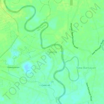
Name: Talomo topographic map, elevation, terrain.

Location: Talomo, Santo Tomas, Davao del Norte, Davao Region, 8112, Philippines (7.50862 125.70290 7.54862 125.74290)

Average elevation: 15 m

Minimum elevation: 7 m

Maximum elevation: 22 m

Other topographic maps

Click on a map to view its topography, its elevation and its terrain.

Gear up for your next adventure:

🔦Keychain LED Torches - Emergency backup light for finding gear in your pack
🧦Merino Wool Hiking Socks - Moisture-wicking socks to prevent blisters during long mountain walks
🗺️Topographic Maps - Detailed maps showing elevation and terrain features
📦Compression Sacks - Reduce backpack volume efficiently
🔦LED Camping Lanterns - Illumination for reading maps inside your tent at night

As an Amazon Associate, this site earns from qualifying purchases at no extra cost to you.