
Siref topographic map
Interactive map
Click on the map to display elevation.
About this map
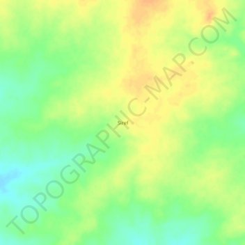
Name: Siref topographic map, elevation, terrain.
Location: Siref, Ouaddaï, Chad (13.66057 21.26530 13.70057 21.30530)
Average elevation: 664 m
Minimum elevation: 645 m
Maximum elevation: 679 m