
Kampung Borhan topographic map
Interactive map
Click on the map to display elevation.
About this map
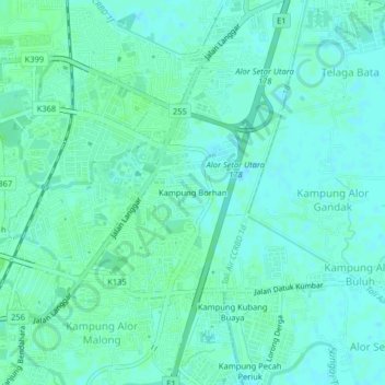
Name: Kampung Borhan topographic map, elevation, terrain.
Location: Kampung Borhan, Alor Setar, Kota Setar, Kedah, 05460, Malaysia (6.11036 100.37320 6.15036 100.41320)
Average elevation: 5 m
Minimum elevation: 1 m
Maximum elevation: 8 m