
Tétange topographic map
Interactive map
Click on the map to display elevation.
About this map
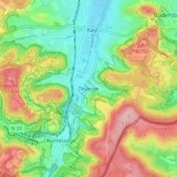
Name: Tétange topographic map, elevation, terrain.
Location: Tétange, Kayl, Canton Esch-sur-Alzette, 3776, Luxembourg (49.45286 6.02020 49.49286 6.06020)
Average elevation: 347 m
Minimum elevation: 279 m
Maximum elevation: 441 m