
Sunday topographic map
Interactive map
Click on the map to display elevation.
About this map
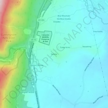
Name: Sunday topographic map, elevation, terrain.
Location: Sunday, Frederick County, Maryland, 21788, United States (39.56343 -77.44388 39.60343 -77.40388)
Average elevation: 172 m
Minimum elevation: 100 m
Maximum elevation: 467 m