
Loyalton topographic map
Interactive map
Click on the map to display elevation.
About this map
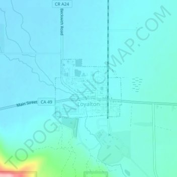
Name: Loyalton topographic map, elevation, terrain.
Location: Loyalton, Sierra County, California, 96118, United States (39.67292 -120.25096 39.68191 -120.23780)
Average elevation: 1,514 m
Minimum elevation: 1,497 m
Maximum elevation: 1,649 m
Loyalton is located at 39°40′36″N 120°14′35″W / 39.67667°N 120.24306°W / 39.67667; -120.24306 (39.676558, -120.243157). Elevation above mean sea level for the area was listed as roughly 4,930 feet (1,500 m). The city is located along California State Route 49, the Gold Country Highway.