
Panongan topographic map
Interactive map
Click on the map to display elevation.
About this map
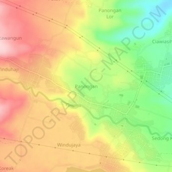
Name: Panongan topographic map, elevation, terrain.
Location: Panongan, Cirebon, West Java, Java, 45189, Indonesia (-6.87678 108.55648 -6.83678 108.59648)
Average elevation: 171 m
Minimum elevation: 48 m
Maximum elevation: 276 m