
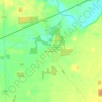
Mount Jefferson topographic map
Interactive map
Click on the map to display elevation.
About this map
Name: Mount Jefferson topographic map, elevation, terrain.
Location: Mount Jefferson, Shelby County, Ohio, 45333, United States (40.22263 -84.35344 40.26263 -84.31344)
Average elevation: 294 m
Minimum elevation: 276 m
Maximum elevation: 312 m
Other topographic maps
Click on a map to view its topography, its elevation and its terrain.