Geolocate

Sierra topographic map

Click on the map to display elevation.

About this map

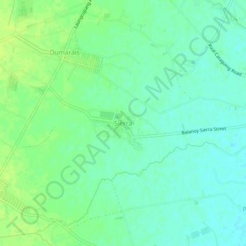
Name: Sierra topographic map, elevation, terrain.

Location: Sierra, La Paz, Tarlac, Central Luzon, 2314, Philippines (15.40448 120.67769 15.44448 120.71769)

Average elevation: 22 m

Minimum elevation: 15 m

Maximum elevation: 28 m

Gear up for your next adventure:

🛰️Outdoor GPS Navigation - Navigation devices for remote and off-grid areas
🧦Hiking Socks - Breathable socks designed to prevent blisters on long walks
🥾Walking Shoes - Lightweight walking shoes for countryside and coastal paths
🔋Rechargeable Batteries - Eco-friendly power for headlamps and older GPS units
🔋Power Banks - Portable chargers for long outdoor trips

As an Amazon Associate, this site earns from qualifying purchases at no extra cost to you.