
Thank you for supporting this site ❤️
Make a donation
Make a donation
Gear up for your next adventure:
As an Amazon Associate, this site earns from qualifying purchases at no extra cost to you.
Gagas topographic map
Click on the map to display elevation.
Thank you for supporting this site ❤️
Make a donation
Make a donation
Gear up for your next adventure:
As an Amazon Associate, this site earns from qualifying purchases at no extra cost to you.
About this map
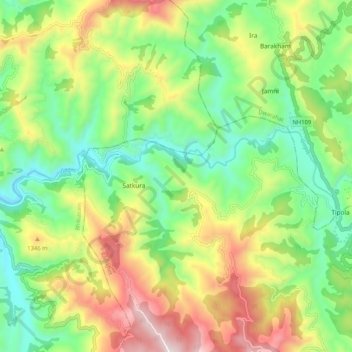
Name: Gagas topographic map, elevation, terrain.
Location: Gagas, Tipola, Ranikhet, Almora District, Uttarakhand, India (29.68638 79.26720 29.71019 79.37102)
Average elevation: 1,125 m
Minimum elevation: 777 m
Maximum elevation: 1,679 m
Thank you for supporting this site ❤️
Make a donation
Make a donation
Gear up for your next adventure:
As an Amazon Associate, this site earns from qualifying purchases at no extra cost to you.