
Jabal al Qarad topographic map
Interactive map
Click on the map to display elevation.
About this map
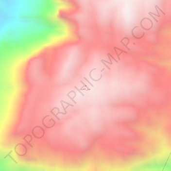
Name: Jabal al Qarad topographic map, elevation, terrain.
Location: Jabal al Qarad, Ain District, Shabwah Governorate, Yemen (14.78005 45.59637 14.78015 45.59647)
Average elevation: 1,924 m
Minimum elevation: 1,349 m
Maximum elevation: 2,119 m
Other topographic maps
Click on a map to view its topography, its elevation and its terrain.