
Thank you for supporting this site ❤️
Make a donation
Make a donation
Gear up for your next adventure:
As an Amazon Associate, this site earns from qualifying purchases at no extra cost to you.
N8 topographic map
Click on the map to display elevation.
Thank you for supporting this site ❤️
Make a donation
Make a donation
Gear up for your next adventure:
As an Amazon Associate, this site earns from qualifying purchases at no extra cost to you.
About this map
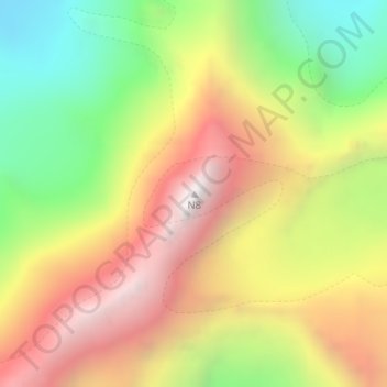
Name: N8 topographic map, elevation, terrain.
Location: N8, Marwah, Kishtwar District, Jammu and Kashmir, India (33.73484 76.11750 33.73494 76.11760)
Average elevation: 5,497 m
Minimum elevation: 4,674 m
Maximum elevation: 6,320 m
Thank you for supporting this site ❤️
Make a donation
Make a donation
Gear up for your next adventure:
As an Amazon Associate, this site earns from qualifying purchases at no extra cost to you.