
la Canonja topographic map
Interactive map
Click on the map to display elevation.
About this map
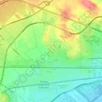
Name: la Canonja topographic map, elevation, terrain.
Location: la Canonja, Tarragonais, Tarragone, Catalogne, 43110, Espagne (41.09755 1.16242 41.13834 1.20784)
Average elevation: 33 m
Minimum elevation: -3 m
Maximum elevation: 79 m