
Chittar topographic map
Interactive map
Click on the map to display elevation.
About this map
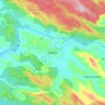
Name: Chittar topographic map, elevation, terrain.
Location: Chittar, Konni, Pathanamthitta District, Kerala, 689663, India (9.28986 76.88585 9.36986 76.96585)
Average elevation: 220 m
Minimum elevation: 37 m
Maximum elevation: 593 m
Other topographic maps
Click on a map to view its topography, its elevation and its terrain.