
Al Fteysi Island topographic map
Interactive map
Click on the map to display elevation.
About this map
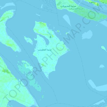
Name: Al Fteysi Island topographic map, elevation, terrain.
Average elevation: 1 m
Minimum elevation: -4 m
Maximum elevation: 10 m
Other topographic maps
Click on a map to view its topography, its elevation and its terrain.
Abu Al Abyad
United Arab Emirates > Abu Dhabi Emirate > Abu Dhabi > Abu Al Abyad Island
Average elevation: 4 m