
Karlovka topographic map
Interactive map
Click on the map to display elevation.
About this map
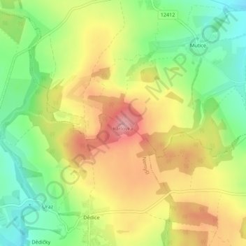
Name: Karlovka topographic map, elevation, terrain.
Location: Karlovka, Nemyšl, okres Tábor, Southwest, Czechia (49.52344 14.71821 49.52354 14.71831)
Average elevation: 554 m
Minimum elevation: 484 m
Maximum elevation: 630 m