
Kelura topographic map
Interactive map
Click on the map to display elevation.
About this map
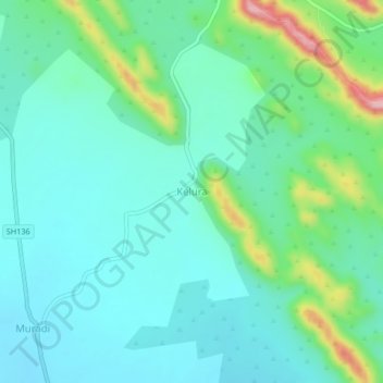
Name: Kelura topographic map, elevation, terrain.
Location: Kelura, Mundargi taluku, Gadag District, Karnataka, India (15.13113 75.75271 15.17113 75.79271)
Average elevation: 605 m
Minimum elevation: 555 m
Maximum elevation: 774 m