
Remer topographic map
Interactive map
Click on the map to display elevation.
About this map
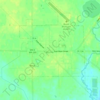
Name: Remer topographic map, elevation, terrain.
Location: Remer, Cass County, Minnesota, États-Unis (47.04232 -93.92894 47.07101 -93.89611)
Average elevation: 408 m
Minimum elevation: 398 m
Maximum elevation: 415 m