
Spicer topographic map
Interactive map
Click on the map to display elevation.
About this map
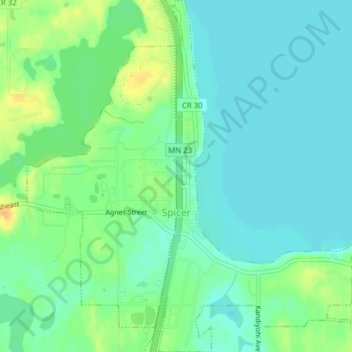
Name: Spicer topographic map, elevation, terrain.
Location: Spicer, Kandiyohi County, Minnesota, États-Unis (45.22213 -94.95650 45.24947 -94.91767)
Average elevation: 358 m
Minimum elevation: 347 m
Maximum elevation: 379 m