
Kharsālī topographic map
Interactive map
Click on the map to display elevation.
About this map
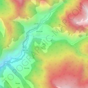
Name: Kharsālī topographic map, elevation, terrain.
Location: Imri, Kharsālī, Rajgarhi, Uttarkashi, Uttarakhand, Indien (30.94710 78.42069 30.98710 78.46069)
Average elevation: 2,904 m
Minimum elevation: 2,267 m
Maximum elevation: 3,625 m