
Oosterbierum topographic map
Interactive map
Click on the map to display elevation.
About this map
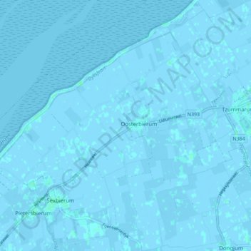
Name: Oosterbierum topographic map, elevation, terrain.
Location: Oosterbierum, Waadhoeke, Friesland, Nederland (53.20805 5.48451 53.25955 5.52722)
Average elevation: 0 m
Minimum elevation: -5 m
Maximum elevation: 4 m
Other topographic maps
Click on a map to view its topography, its elevation and its terrain.