
Moggar topographic map
Interactive map
Click on the map to display elevation.
About this map
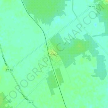
Name: Moggar topographic map, elevation, terrain.
Location: Moggar, Sidi Slimane, Meggarine District, Touggourt, Algeria (33.24816 6.04734 33.28816 6.08734)
Average elevation: 56 m
Minimum elevation: 50 m
Maximum elevation: 62 m
Other topographic maps
Click on a map to view its topography, its elevation and its terrain.
Sidi Slimane
Algeria > Touggourt > Meggarine District > Sidi Slimane
Sidi Slimane, Meggarine District, Touggourt, Algeria
Average elevation: 69 m