
Subestación Munchique (Cauca) topographic map
Interactive map
Click on the map to display elevation.
About this map
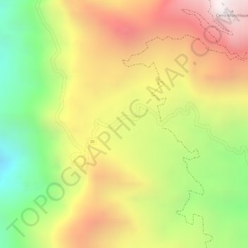
Name: Subestación Munchique (Cauca) topographic map, elevation, terrain.
Average elevation: 2,512 m
Minimum elevation: 1,948 m
Maximum elevation: 3,005 m