
Ban Thung Luang topographic map
Interactive map
Click on the map to display elevation.
About this map
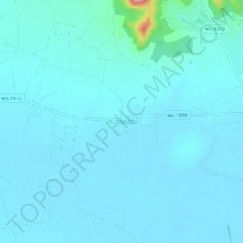
Name: Ban Thung Luang topographic map, elevation, terrain.
Location: Ban Thung Luang, Huai Sai Nuea, Phetchaburi Province, Thailand (12.67260 99.82444 12.71260 99.86444)
Average elevation: 63 m
Minimum elevation: 51 m
Maximum elevation: 201 m