
Guci topographic map
Interactive map
Click on the map to display elevation.
About this map
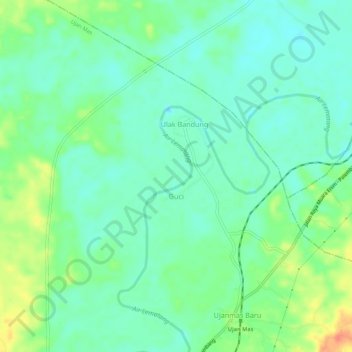
Name: Guci topographic map, elevation, terrain.
Location: Guci, Ujan Mas, Muara Enim, South Sumatra, Indonesia (-3.51572 103.71824 -3.50388 103.77293)
Average elevation: 33 m
Minimum elevation: 18 m
Maximum elevation: 64 m
Other topographic maps
Click on a map to view its topography, its elevation and its terrain.