
Highsteads topographic map
Interactive map
Click on the map to display elevation.
About this map
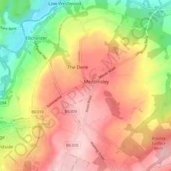
Name: Highsteads topographic map, elevation, terrain.
Average elevation: 180 m
Minimum elevation: 61 m
Maximum elevation: 273 m
Other topographic maps
Click on a map to view its topography, its elevation and its terrain.
Medomsley
United Kingdom > England > County Durham > Medomsley
Medomsley, County Durham, North East England, England, DH8 6QP, United Kingdom
Average elevation: 178 m