
Zrenjanin City topographic map
Interactive map
Click on the map to display elevation.
About this map
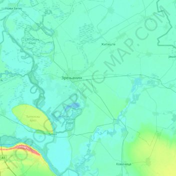
Name: Zrenjanin City topographic map, elevation, terrain.
Average elevation: 83 m
Minimum elevation: 68 m
Maximum elevation: 263 m
Other topographic maps
Click on a map to view its topography, its elevation and its terrain.
Zrenjanin
Serbia > Vojvodina > Central Banat Administrative District > Zrenjanin
Zrenjanin, Zrenjanin City, Central Banat Administrative District, Vojvodina, 23110, Serbia
Average elevation: 80 m