
Perai topographic map
Interactive map
Click on the map to display elevation.
About this map
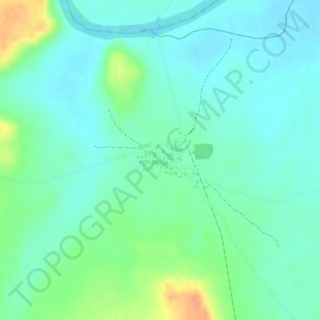
Name: Perai topographic map, elevation, terrain.
Location: Perai, Tumana, Basse, Upper River Division, The Gambia (13.37476 -14.03563 13.37977 -14.02857)
Average elevation: 18 m
Minimum elevation: 4 m
Maximum elevation: 46 m