
Maja topographic map
Interactive map
Click on the map to display elevation.
About this map
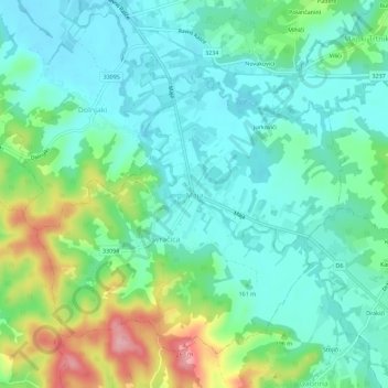
Name: Maja topographic map, elevation, terrain.
Location: Maja, Town of Glina, Sisak-Moslavina County, Croatia (45.26270 16.12004 45.30270 16.16004)
Average elevation: 156 m
Minimum elevation: 117 m
Maximum elevation: 259 m
Other topographic maps
Click on a map to view its topography, its elevation and its terrain.
Maja
Croatia > Sisak-Moslavina County > Town of Glina
Maja, Town of Glina, Sisak-Moslavina County, Croatia
Average elevation: 141 m