
Charnwood Forest Canal (Disused) topographic map
Interactive map
Click on the map to display elevation.
About this map
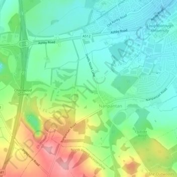
Name: Charnwood Forest Canal (Disused) topographic map, elevation, terrain.
Average elevation: 98 m
Minimum elevation: 53 m
Maximum elevation: 186 m