Geolocate

Multan topographic map

Click on the map to display elevation.

About this map
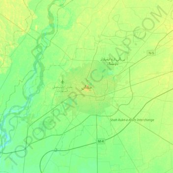
Name: Multan topographic map, elevation, terrain.

Location: Multan, Gulshan, Multan District, Multan Division, Punjab, 66000, Pakistan (30.03784 71.31197 30.35784 71.63197)

Average elevation: 125 m

Minimum elevation: 114 m

Maximum elevation: 142 m

Other topographic maps

Click on a map to view its topography, its elevation and its terrain.

Shah Shams Park

Pakistan > Punjab > Multan District > Multan

Average elevation: 126 m

Gear up for your next adventure:

🦟Anti-Midge & Tick Repellent - Vital for hiking in the Scottish Highlands during summer
📻Hand-Crank Emergency Radios - Stay updated on weather warnings in remote areas
🧺Mesh Stuff Sacks - Breathable storage for wet gear or camp organization
🧼Camping Hygiene Kits - Compact hygiene essentials for outdoor stays
🥾Hiking Boots - Waterproof and durable boots for long-distance hiking in the UK

As an Amazon Associate, this site earns from qualifying purchases at no extra cost to you.