
Betteville topographic map
Interactive map
Click on the map to display elevation.
About this map
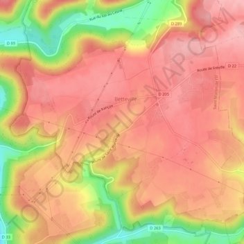
Name: Betteville topographic map, elevation, terrain.
Average elevation: 94 m
Minimum elevation: 7 m
Maximum elevation: 135 m
Other topographic maps
Click on a map to view its topography, its elevation and its terrain.
Fréville
France > Normandie > Seine-Maritime > Saint Martin de l'If
Fréville, Saint Martin de l'If, Rouen, Seine-Maritime, Normandie, France métropolitaine, 76190, France
Average elevation: 119 m