
Lac Guillaume topographic map
Interactive map
Click on the map to display elevation.
About this map
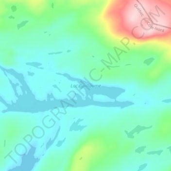
Name: Lac Guillaume topographic map, elevation, terrain.
Location: Lac Guillaume, Caniapiscau, Côte-Nord, Québec, Canada (54.91961 -67.45172 54.93326 -67.37862)
Average elevation: 633 m
Minimum elevation: 584 m
Maximum elevation: 802 m